
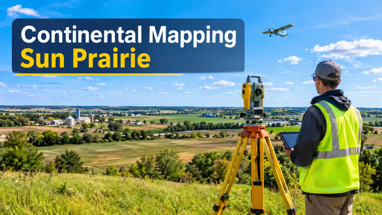
Continental Mapping Sun Prairie stands out as an interesting example of how a regional geospatial company can build a significant presence in an industry that depends on accurate information, technical knowledge, and reliable mapping services. Based in Sun Prairie, Wisconsin, Continental Mapping Consultants developed expertise in geographic information systems, aerial mapping, LiDAR, photogrammetry, and spatial data management. Its work extended beyond producing maps, supporting government agencies and organizations that needed dependable geographic information for transportation, infrastructure, environmental planning, and other public-sector activities. The company’s history also took an important turn in 2022, when it adopted the Axim Geospatial name alongside other organizations. Understanding that transition is essential to understanding the company’s business history and its place in the geospatial industry.
The History Behind Continental Mapping Sun Prairie
Continental Mapping Consultants was established in 1999 in Wisconsin. From its early years, the company focused on geographic information and mapping services that helped organizations understand physical locations through accurate data. Its development reflected a growing need for specialized mapping capabilities, particularly among government agencies, infrastructure planners, and commercial organizations.
The company’s Sun Prairie presence became an important part of its identity. Located near Madison, Wisconsin, Sun Prairie provided a base from which the business could develop relationships with regional clients while serving projects beyond the local area.
Continental Mapping Sun Prairie gradually built its reputation around technical mapping work rather than traditional printed maps. Its services involved collecting geographic information, processing imagery, preparing spatial datasets, and turning raw information into useful products.
This distinction matters. A modern mapping company does not simply show where a road, building, or boundary exists. It can also provide information about terrain, elevation, infrastructure conditions, and changes across a landscape. That broader capability helped Continental Mapping establish its position in the geospatial services market.
Why Sun Prairie, Wisconsin, Was Important to the Company
Sun Prairie is located in Dane County, Wisconsin, close to Madison. Its location gave Continental Mapping a recognizable regional base while allowing the company to work with customers in different parts of the United States.
The city connection is particularly important for people researching the company’s background. Continental Mapping Sun Prairie was associated with a business whose projects were not restricted to Wisconsin. Its geographic services supported organizations dealing with transportation systems, public infrastructure, government information, and environmental data.
The company’s historical headquarters address was listed as 100 QBE Way, Suite 1225, Sun Prairie, WI 53590, United States, in government-related business records.
However, readers should distinguish between a historical headquarters listing and a verified current office location. A company rebranding or organizational change does not automatically establish that every former office arrangement remains unchanged.
Sun Prairie remains an important part of the company’s history because it connects its business development with Wisconsin’s broader mapping and geographic technology sector.
The Mapping Services That Defined Continental Mapping Consultants
Continental Mapping Consultants developed its business around specialized geospatial services. These capabilities helped customers collect geographic information, interpret it, and apply it to practical decisions.
Its work covered several important areas, but GIS, aerial mapping, and LiDAR deserve particular attention because they demonstrate the company’s technical direction.
Geographic Information Systems and Spatial Data
Geographic Information Systems, commonly called GIS, allow users to collect, manage, analyze, and display information connected to specific locations.
For example, a transportation department may need to understand where roads, bridges, drainage systems, and other infrastructure assets are located. GIS can bring these records together in a structured environment, making it easier to examine relationships between different features.
Continental Mapping Sun Prairie developed services connected to GIS data management and mapping. These capabilities were relevant to organizations that needed accurate geographic records rather than disconnected spreadsheets or outdated paper maps.
GIS also has practical applications in environmental management, public administration, land planning, and emergency response. Its value comes from connecting information to real places.
Aerial Photography and Photogrammetry
Aerial mapping was another important area of the company’s technical work.
Photogrammetry uses photographs to measure and interpret physical features. Images collected from aircraft or other platforms can be processed to produce geographic information, including measurements, terrain representations, and mapping products.
This approach is useful when organizations need information about large areas that would be difficult or expensive to document entirely through ground-based surveys.
For infrastructure projects, aerial imagery can help planners examine land conditions and identify physical features across a project area. It can also support mapping updates when landscapes or built environments change.
The importance of photogrammetry lies in its ability to turn photographs into measurable geographic information.
LiDAR and Three-Dimensional Mapping
LiDAR, short for Light Detection and Ranging, uses laser measurements to collect information about distances and physical surfaces.
The resulting data can be processed into detailed representations of terrain, buildings, vegetation, and other landscape features. Depending on the collection method and processing requirements, LiDAR can support elevation models and three-dimensional mapping products.
Continental Mapping’s historical project portfolio included LiDAR collection and processing work in Wisconsin and other locations.
For government agencies, this technology can support flood-related mapping, infrastructure assessments, land management, and engineering activities. It is particularly useful when accurate elevation information is required.
Among the company’s technical capabilities, LiDAR deserves special attention because it demonstrates how mapping projects can deliver information that goes far beyond a conventional geographic map.
Wisconsin LiDAR Work Demonstrated the Company’s Technical Capabilities
One notable example associated with Continental Mapping Consultants was a 2017 LiDAR project covering approximately 647 square miles in Waushara County, Wisconsin.
The work involved collecting, processing, and classifying LiDAR information for FEMA-related topographic mapping requirements.
The project’s scale illustrates why specialized geospatial companies play an important role in public-sector mapping. Covering hundreds of square miles requires organized data collection, careful processing, and consistent information quality.
Elevation data is especially valuable in areas where land characteristics influence flood assessment and planning. A reliable terrain model can help agencies understand how water may move across a landscape and identify areas requiring closer examination.
Continental Mapping Sun Prairie gained an important historical connection to this type of work through its Wisconsin mapping activities.
The project also shows why technical accuracy matters. A map containing incorrect elevation information can create problems for planning and assessment. Collecting data is only one part of the process; classification, processing, and quality checks are equally important.
Minnesota Transportation Project Highlighted Its Infrastructure Work
Continental Mapping’s project history also included work beyond Wisconsin.
In 2017, the Minnesota Department of Transportation selected the company for a statewide Barrier End Treatment Inventory and Assessment project.
The project involved mobile LiDAR and field assessments to document highway safety barriers and guardrails. The information was intended to support transportation asset mapping and assessment activities.
This type of work serves a different purpose from topographic mapping. Rather than concentrating mainly on land elevation, the project focused on transportation infrastructure and the condition or characteristics of roadside safety assets.
Transportation departments need dependable asset information to manage large road networks. Knowing where infrastructure features are located and maintaining accurate records can support inspections, maintenance planning, and administrative decisions.
The Minnesota project is a useful example of Continental Mapping’s ability to apply geospatial methods to practical government requirements.
It also demonstrates that the company’s work was not limited to producing aerial images or geographic datasets. Its capabilities extended into the documentation of physical infrastructure.
The 2020 Investment and the Company’s Business Development
Another significant milestone came in March 2020, when Bluestone Investment Partners announced an investment in Continental Mapping.
The announcement reflected the company’s position in a market serving defense, intelligence, government, and commercial customers.
Investment activity can be important in the development of specialized technology businesses. Geospatial projects often require technical staff, data processing capabilities, equipment, and long-term customer relationships. Building those resources requires sustained business development.
Continental Mapping had already established experience in mapping and geographic information services. The investment represented another important stage in its corporate history.
For readers researching Continental Mapping Sun Prairie, this development helps explain how the company moved from its regional origins toward a broader business structure.
It also provides context for the organizational changes that followed.
Why Continental Mapping Became Axim Geospatial in 2022
The most important change in the company’s identity occurred on January 1, 2022.
Continental Mapping Consultants, GISinc, and TSG Solutions adopted the Axim Geospatial brand. The move brought their capabilities together under a shared company identity.
This was more than a simple change to a company name. It represented an effort to combine different areas of geospatial experience and services under one organization.
The Axim Geospatial identity reflected a wider business offering that included mapping, geographic information systems, data acquisition, spatial analysis, and related technical services.
For people searching for Continental Mapping Sun Prairie, this date is essential. Articles that discuss the company without mentioning the rebranding leave out the most significant development in its later history.
It is also important to avoid describing Continental Mapping and Axim Geospatial as two completely unrelated businesses. The 2022 announcement established a direct connection between the former Continental Mapping organization and the new brand.
The change gave the company’s existing history a new organizational identity while bringing together expertise from multiple businesses.
What Axim Geospatial’s Capabilities Added to the Business
Axim Geospatial’s documented government capabilities included GIS, mapping, surveying-related services, spatial analysis, data acquisition, and three-dimensional terrain production.
These capabilities cover different stages of a geospatial project.
Data acquisition is concerned with gathering geographic information. Processing and analysis help turn collected information into useful datasets. Mapping and visualization allow users to interpret the results and apply them to their work.
For government organizations, this range of services can support infrastructure management, land information, environmental projects, and operational planning.
The combination of capabilities from Continental Mapping, GISinc, and TSG Solutions also created a broader organizational foundation.
The historical Continental Mapping Sun Prairie operation therefore needs to be understood within this larger development. Its previous mapping experience became part of a business identity that included additional geospatial expertise.
Readers interested in the company’s current identity should investigate Axim Geospatial rather than assuming that the former Continental Mapping name remains its active brand.
How Geospatial Mapping Supports Government and Infrastructure Decisions
The practical importance of Continental Mapping’s work becomes clearer when considering how government agencies use geographic information.
A transportation department managing a statewide highway network needs more than a basic road map. It may require accurate records of guardrails, road features, surrounding terrain, and infrastructure assets.
Environmental agencies face different requirements. They may need elevation information, land-cover datasets, aerial imagery, or geographic records to support environmental assessments.
Local governments can also use GIS to organize property information, document public assets, and support development planning.
These applications explain why mapping accuracy has practical consequences.
Poorly organized geographic information can create delays, complicate project planning, and make it difficult to compare records from different sources. Reliable datasets provide a stronger foundation for decisions.
Continental Mapping Sun Prairie developed its historical business around these kinds of requirements. Its projects demonstrate how specialized mapping services can contribute to activities that affect public infrastructure and government operations.
Continental Mapping Sun Prairie’s Place in Wisconsin’s Geospatial Industry
Wisconsin’s mapping and surveying sector includes organizations involved in geographic information systems, land data, aerial imagery, surveying, and spatial technology.
Continental Mapping Consultants became a recognizable participant in this environment through its Sun Prairie connection and its work for government and commercial customers.
Its history is particularly interesting because the company combined a regional headquarters with projects covering areas outside Wisconsin.
The Waushara County LiDAR project provides a local example, while the Minnesota transportation assessment demonstrates its work across state boundaries.
This combination of regional roots and wider project experience makes the company’s history worth examining.
Its transition to Axim Geospatial also reflects how specialized service providers can change their organizational structure as their capabilities and business operations develop.
For Wisconsin’s geospatial industry, the company’s story is not simply about where it was headquartered. It is about the technical work it performed and how that work became part of a larger business.
The Lasting Significance of Continental Mapping’s Business History
Continental Mapping Consultants built its identity around geographic information that organizations could use in real projects. Its work in GIS, photogrammetry, LiDAR, and infrastructure mapping addressed practical requirements rather than relying on mapping as a purely visual product.
The company’s 2017 Wisconsin and Minnesota projects provide concrete examples of those capabilities. Its 2020 investment marked another stage of business development, while the January 2022 rebranding established Axim Geospatial as the shared identity for Continental Mapping Consultants, GISinc, and TSG Solutions.
The key takeaway from continental mapping sun prairie is that its importance comes from both its technical history and its organizational evolution. Sun Prairie remains central to understanding the company’s origins, but Axim Geospatial is the name readers should investigate when following the business beyond its former identity.
A company’s history should not be confused with its current operations. Understanding that distinction makes the story of Continental Mapping more accurate, more useful, and far more interesting than treating it as just another local mapping business.
Frequently Asked Questions
1. When was Continental Mapping Consultants established?
Continental Mapping Consultants was established in 1999 in Wisconsin. It developed expertise in geospatial mapping, GIS, aerial imagery, photogrammetry, and related data services.
2. Is Continental Mapping Consultants still operating under its original name?
No. On January 1, 2022, Continental Mapping Consultants joined GISinc and TSG Solutions under the Axim Geospatial brand. Readers researching its later business identity should look for Axim Geospatial.
3. What made Continental Mapping’s LiDAR projects important?
Its LiDAR work provided detailed geographic and elevation information. For example, its 2017 project in Waushara County, Wisconsin, covered approximately 647 square miles and supported FEMA-related topographic mapping requirements.
4. Did Continental Mapping work outside Wisconsin?
Yes. Its project history included a 2017 Minnesota Department of Transportation assignment involving mobile LiDAR and field assessments of highway safety barriers and guardrails.
5. What was the historical headquarters location of Continental Mapping?
The company’s historical headquarters was listed at 100 QBE Way, Suite 1225, Sun Prairie, Wisconsin 53590, United States. This should not be treated as confirmation of its current office address.